Latest Airport Mapping News
-
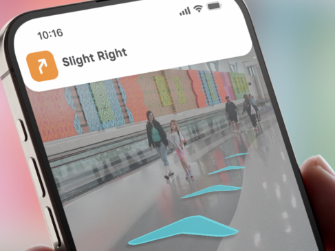
Nashville International Airport Introduces Indoor Navigation App
Nashville International Airport (BNA) has launched GoodMaps, an indoor navigation platform for passengers.
-

Australia: Google Maps Indoor View Now Available at SYD
In a first for the country, Google has launched its Indoor Live View software at Sydney Airport (SYD).
-
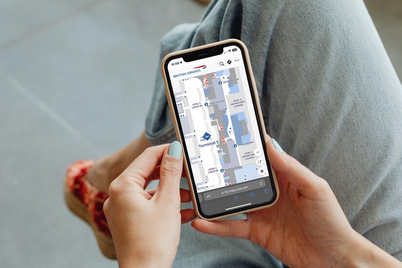
British Airways Trials Digital Wayfinding Tool at London Heathrow
British Airways is trialling a new digital wayfinding tool to help passengers navigate through London Heathrow Airport (LHR).
-

Zurich Airport Equipped with Google Maps Live View
Google has activated the Live View feature in Google Maps at Zurich Airport, making it the first airport in the world with this function.
-

Belfast City Airport Kickstarts Investment in Digital Transformation
Following a six-figure investment, George Best Belfast City Airport has launched a major five-year, digital transformation programme.
-
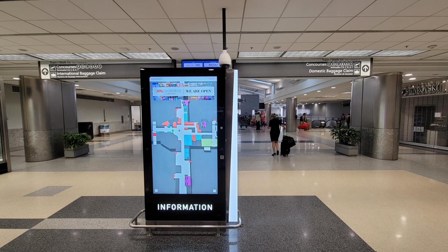
ATL Deploys Smart Wayfinding and Digital Directory Kiosks
Acquire Digital has partnered with Flyin’ High Signs and Gable to deploy an innovative Digital Directory and Wayfinder kiosk program for ATL…
-

New Digital Maps at Phoenix Sky Harbor International Airport
PHX guests can now benefit from upgraded website maps featuring user-friendly, mobile navigational support powered by LocusLabs.
-

Austin-Bergstrom International Launches New Wayfinding Tool
Austin-Bergstrom International Airport (AUS) has launched LocusMaps on Web, a new online wayfinding platform in partnership with LocusLabs.
-
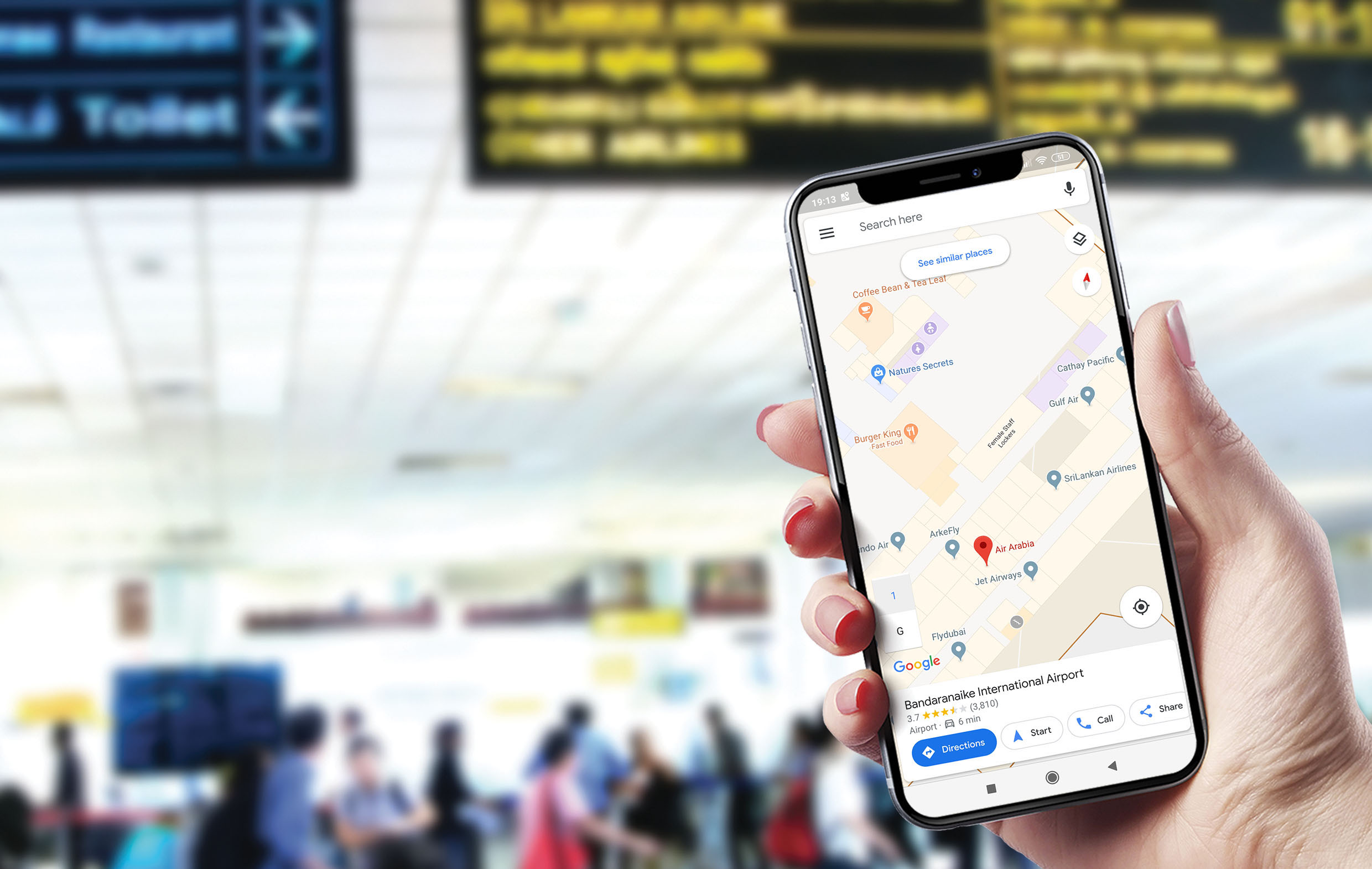
Inside of Bandaranaike Airport goes live on Google Indoor Maps
Google Indoor Maps was launched at Bandaranaike Airport (BIA) today, becoming the first indoor facility to enable this feature in Sri Lanka.
