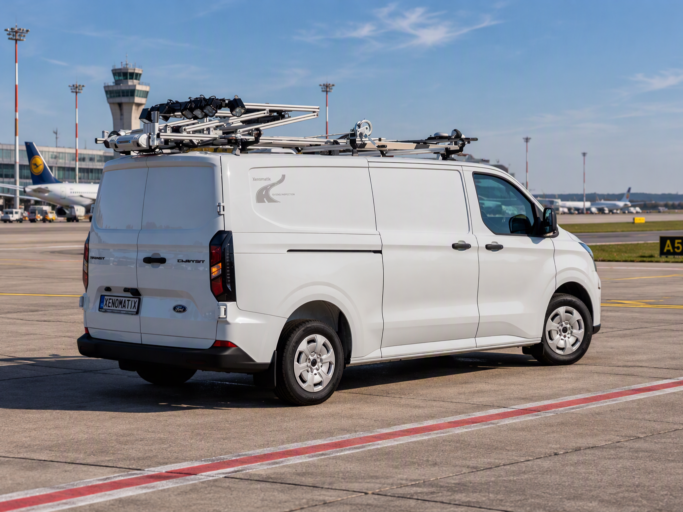
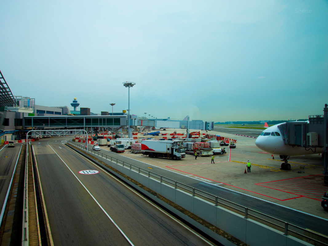
XenomatiX offers 6D Road Scanning for assessing and surveying pavement condition. A high-precision LiDAR system combined with a high-resolution camera and GNSS measures runway conditions and provide a digital 6D profile of the pavement.
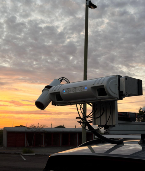
The system captures millimetre-level data to detect and characterize cracks, potholes, rutting, raveling, surface deformations like depressions, other pavement distresses, and light fixture protrusions. The Pavement Condition Index (PCI) can then be calculated in accordance with the ASTM D5340 standard for airports.
Why Is 6D Road Scanning Different?
6D Road Scanning is designed as an integrated system and compact kit that can be installed on a wide range of vehicles, effectively transforming the vehicle into a high-precision pavement inspection platform. The system can be carried in an airplane from state to state or country to country.
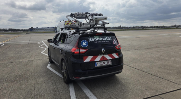
Installation is quick, allowing the system to be deployed with minimal preparation. Data collection is highly efficient. A complete runway can be surveyed in less than two hours
Data once processed it provides key pavement condition indicators such as PCI, rutting, and IRI, together with a detailed map of detected cracks and other defects, following international standards.
Each defect can be linked to its precise location on the runway allowing airport operators to understand exactly where the problem is, what type of defect is present, and where maintenance is required.
Reports are generated with actions to support maintenance planning and decision-making, providing airports with an objective and repeatable way to monitor pavement condition over time.
This article was originally published by XenomatiX.